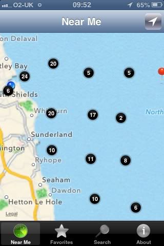
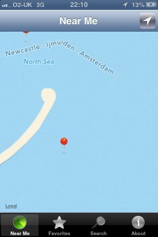
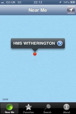
zoom into wreck and click on the marker and will tell u name of wreck
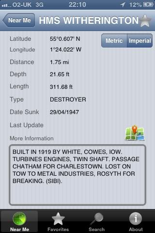
click on to the arrow and gives u all details of wreck
personally I think wreck will b handy and I'm wondering if can use ur IPhone to navigate you up to so far out then use fish finder to see the wreck, not sure but will have to find out on next trip out, would recommend this app really to anyone starting off
The app just pin points ur current location so when u zoom as close in as I can ul know if ur right near the wreck then I guess it's just a case of finding wreck on fish finder, I know my phone signal is ok til bout 4-5mile off but dnt know if the phone will pick up my gps signal any further something il have to try out
This site uses cookies to help personalise content, tailor your experience and to keep you logged in if you register.
By continuing to use this site, you are consenting to our use of cookies.
")